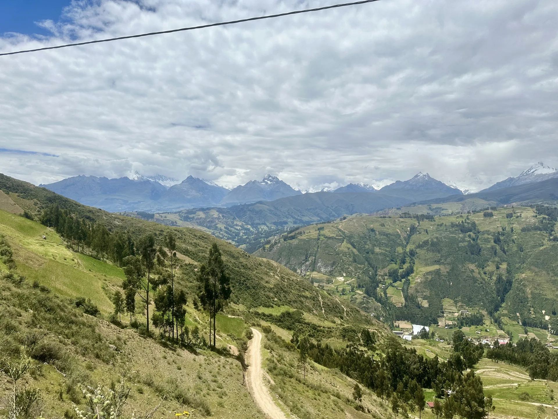
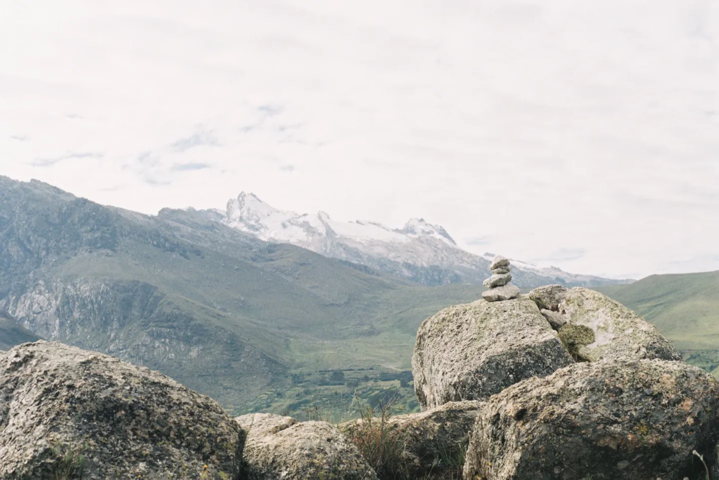
Laguna Wilcacocha, located in the Cordillera Negra of the Ancash Region, is one of the easiest day hikes you can do in Huaraz and the perfect acclimatisation hike for your first few days in the region. While the lake itself may not be as impressive as some of the bright turquoise lakes around Huaraz, the hike offers something different: a panoramic view across to the snow-capped mountains of the Cordillera Blanca, where most of the region’s more famous hikes are located.
Completing the Laguna Wilcacocha hike without a guide is straightforward and inexpensive, requiring you to take just one colectivo from the centre of Huaraz to reach the trailhead. The guide below covers everything you need to know, including the exact itinerary I followed, how difficult the hike is, how much it cost me and what to pack.
Laguna Wilcacocha Hiking Map
Some links in this guide are affiliate links. I may earn a small commission if you book through them, at no extra cost to you. I only link to places I have personally stayed and would recommend. Affiliate Disclosure.
The Laguna Wilcacocha Hike
Huaraz → Trailhead (Puente Santa Cruz)
To get to the Laguna Wilcacocha trailhead, you’ll need to catch a colectivo that leaves beside Mercado Central de Huaraz, around Jr. Hualcán and Avenida Antonio Raymondi. The colectivo terminal can feel a little chaotic when you first arrive, but you are looking for line 10 or E. When you get on, make sure to tell the driver that you are heading to Laguna Wilcacocha and want to get off at Puente Santa Cruz (Santa Cruz Bridge).

Unlike most hikes around Huaraz, you do not need an early start for this one, so you can comfortably leave later in the morning or even after lunch. The Laguna Wilcacocha hike should take no more than half a day to complete, which also makes it a good option if you have just arrived on a night bus and can leave your bags somewhere secure.
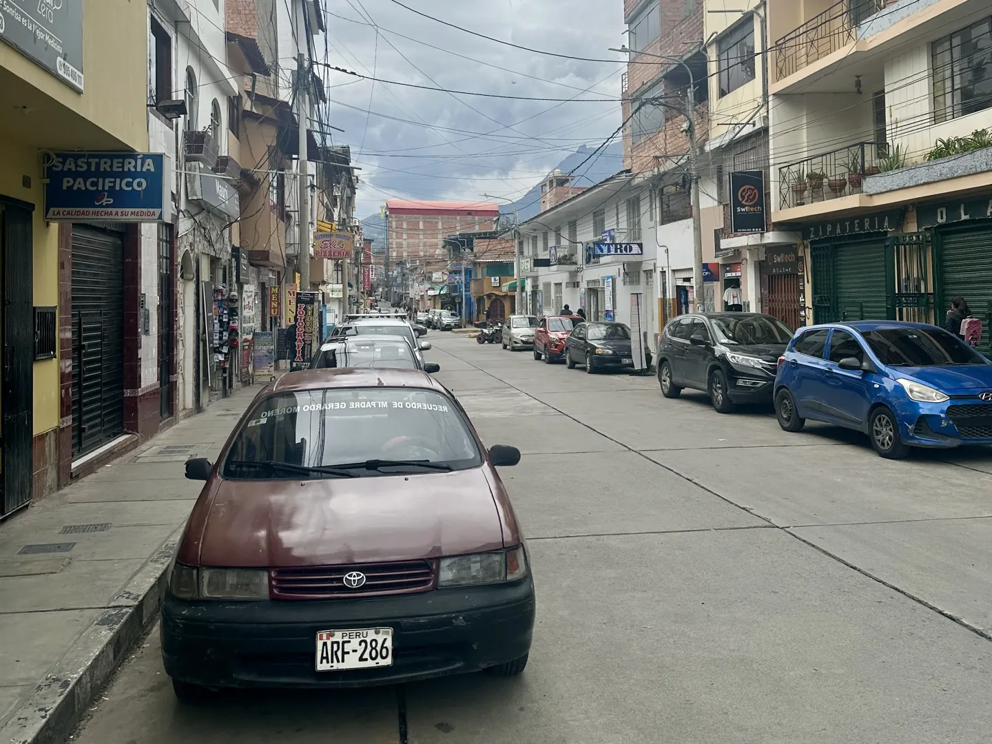
The colectivo to the Laguna Wilcacocha trailhead works like any other local colectivo rather than a dedicated hiking shuttle. You simply get on, pay the driver and travel one way, with no return ticket to organise in advance. I paid S/2 directly to the driver for the trip to Puente Santa Cruz, and payment is cash only.
As the fare is small, the driver may not have enough change for a large note.
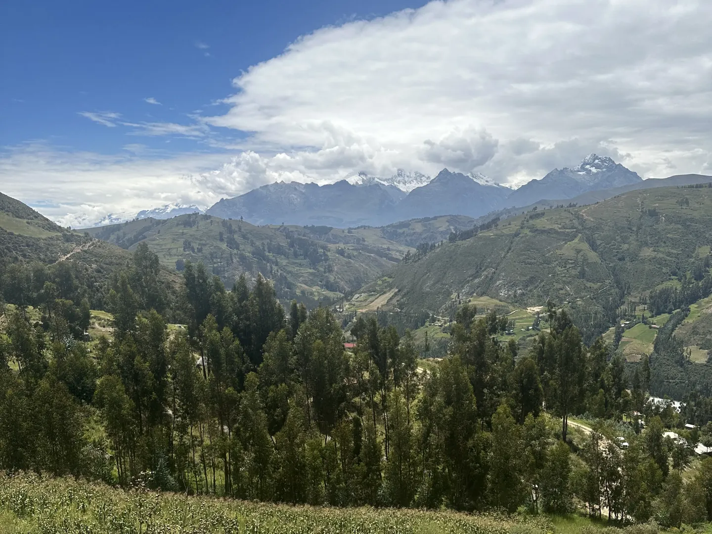
The colectivo is a shared local minivan, so it will usually make a few stops as people get on and off along the way. From central Huaraz, the drive to Puente Santa Cruz takes around 20 to 30 minutes depending on traffic and the number of stops. When it’s your turn to get off, you’ll be dropped on the same side as Puente Santa Cruz, where the Laguna Wilcacocha hike begins.
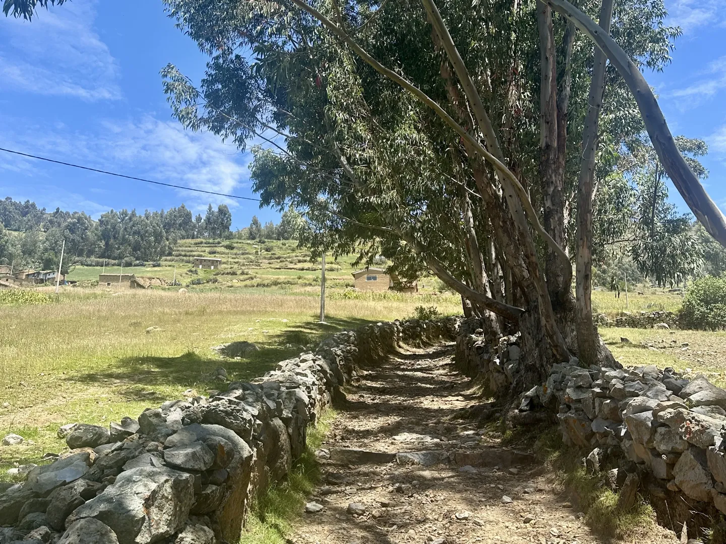
Trailhead (Puente Santa Cruz) → Laguna Wilcacocha
After crossing Puente Santa Cruz, the trail heads uphill almost straight away, and this first section is the most confusing part of the hike. Some of the paths heading up are overgrown with vegetation, and there is no single obvious route immediately after the bridge, with a few different paths eventually joining the main trail higher up. Before leaving Huaraz, I recommend downloading an offline map using AllTrails or Maps.me so you can check that you are heading in the right direction.
Although Laguna Wilcacocha is one of the easier hikes around Huaraz, the trailhead starts at 3,176 metres (10,420 feet), which can catch you off guard, especially if you haven’t been at altitude before. Make sure to monitor your altitude sickness symptoms and pace yourself.
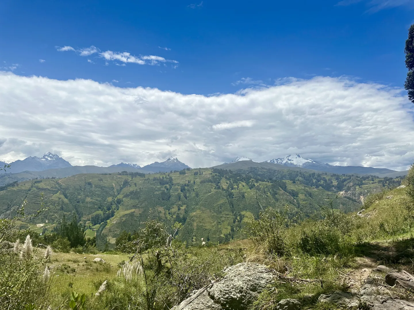
As Laguna Wilcacocha sits outside Huascarán National Park, there is no national park ticket or entrance fee to organise. Once you have paid for the colectivo to the trailhead, you can essentially do the entire hike for free.
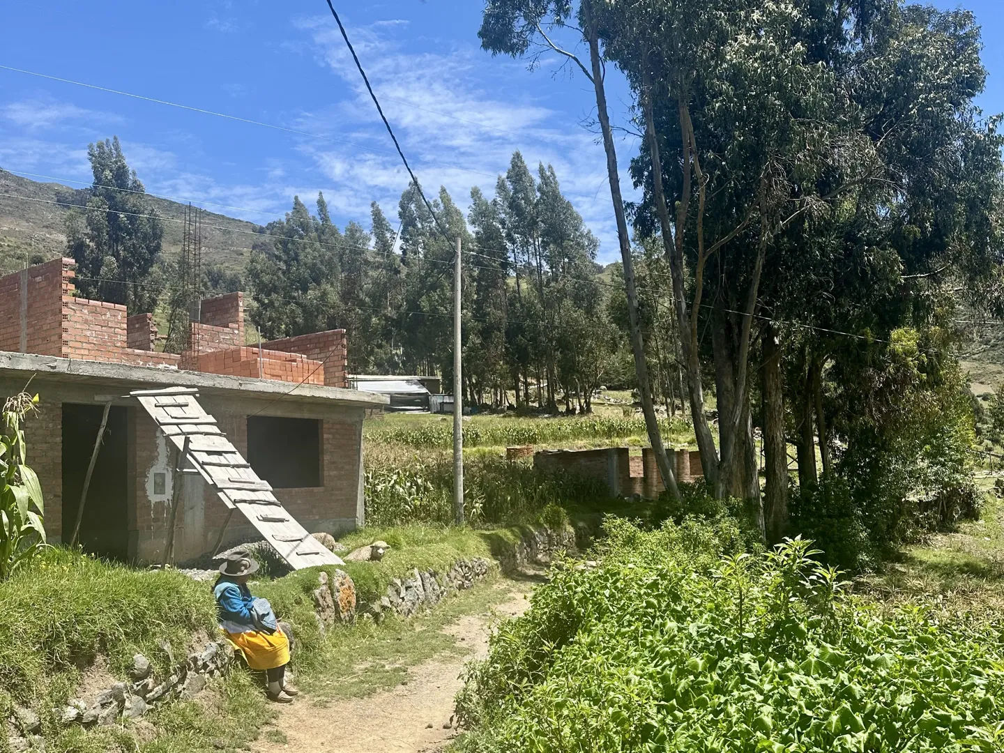
Once you make it through the opening section and join the main path, the dirt trail becomes much easier to follow. From here, you will gradually make your way through small villages, passing stone houses, local schools and farmland along the way. Along the way, you may also find yourself sharing the path with farmers moving livestock or children from the surrounding communities. Everyone I passed was incredibly friendly, and a few were more than happy to stop for a quick chat as I walked through.
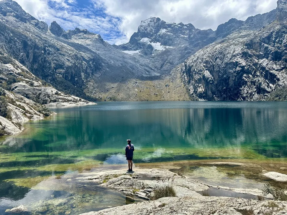
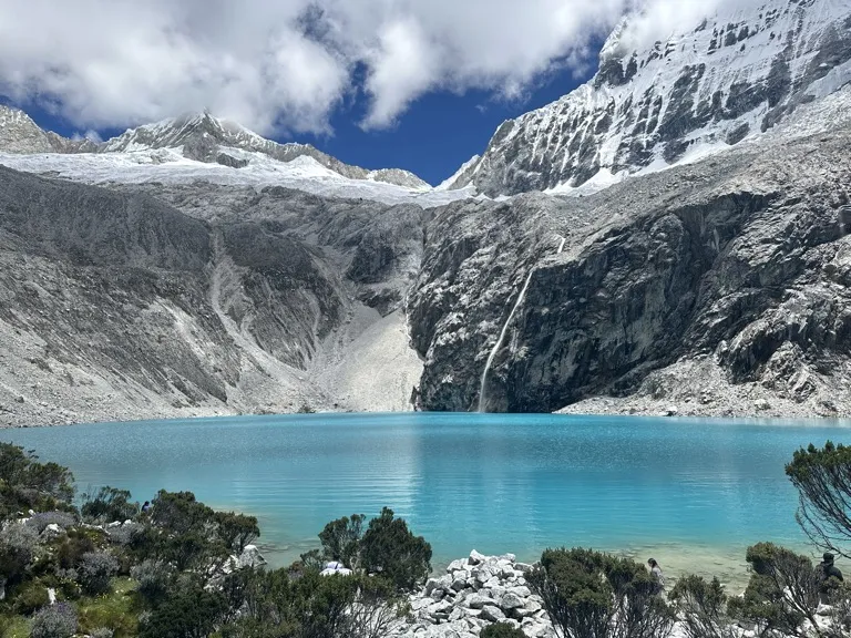
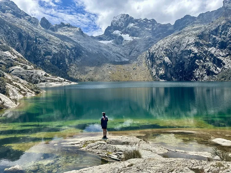
You will eventually reach a final small uphill section, with Laguna Wilcacocha hidden just beyond the top. Much to my disappointment, when the lake finally came into view, my honest first reaction was, “Really, that’s it?”. After seeing photos of some of the most beautiful bright turquoise lakes around Huaraz, I had expected something much more grandiose, but Wilcacocha looked more like a small swampy lake.
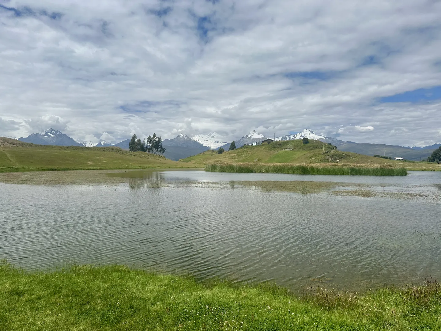
However, once I found a spot to sit down for lunch, I slowly started to appreciate the surrounding views. While the lake itself was underwhelming, you get a panoramic view across to the snow-capped peaks of the Cordillera Blanca. On top of that, you may get to enjoy the view completely by yourself, free of any other tourists, making it the perfect place to sit down for lunch or even have a nap in the sun.
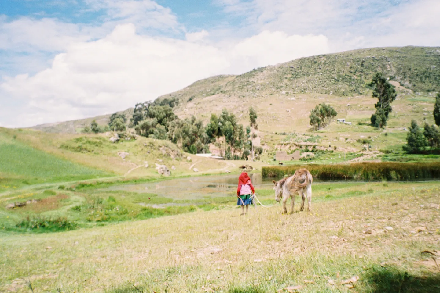
Laguna Wilcacocha → Huaraz
To get back to Huaraz, retrace the same route you followed on the way up. The descent is straightforward and noticeably quicker than the climb, especially once you are back on the main path.
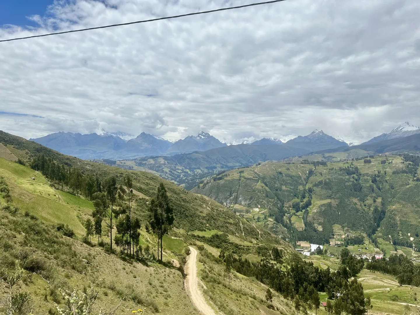
Once you are back at the main road, wait on the opposite side from where the colectivo originally dropped you off. There is no scheduled pickup, so do not expect one to be waiting when you arrive. Instead, keep an eye out for a Line 10 or E colectivo and wave it down as it approaches. The colectivo will take you back to the same area beside Mercado Central where you started earlier in the day.
In my case, a local offered me a lift back instead, and I simply paid him the same amount I would have paid for the colectivo, plus a little extra as a thank you.
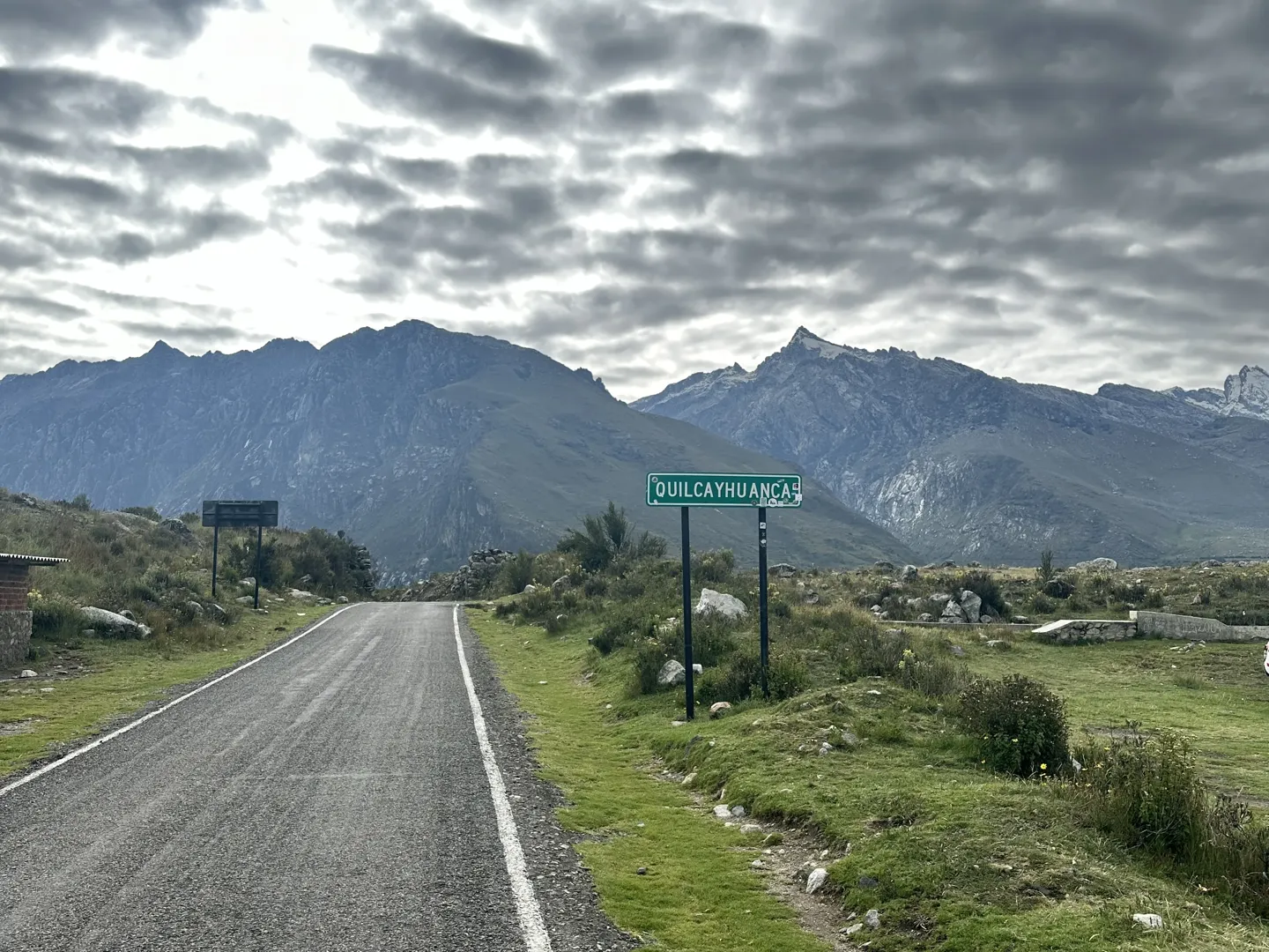
By the time you make it back to Huaraz, I think you’ll understand why Laguna Wilcacocha is the perfect first hike in Huaraz. It is close to the city and easy to reach, while still giving you a decent amount of elevation before moving on to some of the higher hikes around Huaraz. More than anything, it is a good introduction to the area and gives you your first proper view across the snow-covered mountains that make hiking around Huaraz so special.
Back from Laguna Wilcacocha? Sleep Here.
Three solid alternatives, depending on your budget.
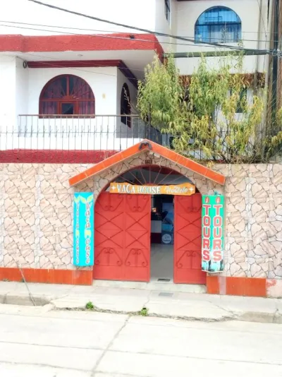
This is where I stayed and booked my Laguna 69 hike. It is a wholesome, family-run B&B with private rooms, dorms, breakfast and a well-equipped shared kitchen.
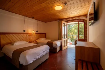
A charming, quieter stay near central Huaraz, with a beautiful garden, comfortable private rooms and its own restaurant and bar.

A peaceful escape outside Huaraz with spectacular views towards the Cordillera Blanca. Perfect if you want somewhere special to unwind after a day in the mountains.
Laguna Wilcacocha is one of the easiest day hikes you can do in Huaraz. The trail is mostly a straightforward dirt path used by locals, with no technical sections to worry about. The main challenge is that the route climbs almost continuously from Puente Santa Cruz to the lake, so if you are not properly acclimatised, the combination of the uphill and altitude can catch you off guard and make the hike feel harder than expected.
Laguna Wilcacocha does not require an entrance ticket, making it one of the cheapest day hikes you can do from Huaraz. Here is exactly what I spent to complete the hike.
-
S/ 4 $1Colectivo to and from Huaraz to the trailhead (Puente Santa Cruz)S/2 each way, paid in cash to the driver
Conversions are approximate and update daily. Check the live rate before you travel.
Huaraz is tucked away in the mountains of northern Peru, so reaching it takes a little more effort than travelling between the country’s main tourist cities. Most travellers arrive from Lima, either by taking a short flight followed by a taxi into the city or an eight-to-nine-hour bus journey. Both options are straightforward, with your choice mostly coming down to whether you would rather save time or money.
Laguna Wilcacocha can be hiked year-round, but the most reliable conditions are between May and September. Outside these months, the hike is still possible, although rain and cloud can affect both the trail and your views of the Cordillera Blanca. Use the season cards below to decide when best to fit the hike into your time in Huaraz.
May & September
Shoulder season- The best balance between good weather and smaller crowds on the trail and at Laguna Wilcacocha.
- Conditions are likely to be dry, with a good chance of clear views across to the Cordillera Blanca.
- The trail should generally be in good condition, with less chance of mud or slippery sections than during the wet season.
- Weather is slightly less predictable than from June to August, so check the forecast before leaving Huaraz.
June to August
Dry season, most popular months- These are the driest months in Huaraz and give you the best chance of clear views of the Cordillera Blanca from Laguna Wilcacocha.
- Rain is uncommon, so the dirt trail is also least likely to be muddy during these months.
- This is peak hiking season in Huaraz, so expect a greater number of other hikers on the trail and at Laguna Wilcacocha.
October to April
Wet season- Laguna Wilcacocha can still be hiked during these months, and its shorter length makes it easier to plan around the weather than longer hikes around Huaraz.
- Rainfall and cloud coverage become much more common, with the wettest conditions generally falling between December and March.
- There is a much greater chance of the dirt trail being muddy, while thick clouds can completely hide the views of the Cordillera Blanca.
- Less likely to encounter other tourists along the trail or at Laguna Wilcacocha.
- If you are hiking during the wet season, leave earlier in the day to reduce your chances of getting caught in the more common afternoon rain.
Laguna Wilcacocha sits at around 3,745 metres (12,287 feet), so the altitude can still catch you off guard if you have only recently arrived in Huaraz. Altitude sickness can affect you regardless of how fit you are, making acclimatisation far more important than trying to push through it. Use the tips below to reduce your risk of suffering from altitude sickness.
Acclimatise in Huaraz before the hike
If you have arrived directly from Lima or somewhere else close to sea level, spend at least one night in Huaraz before hiking to Laguna Wilcacocha. I would only recommend doing the hike straight after a night bus if you are already properly acclimatised from somewhere else at altitude.
Take the climb slowly
Laguna Wilcacocha is often used as an acclimatisation hike, but the continuous uphill can still feel harder than expected at this elevation. Take your time on the ascent, keep your pace comfortable and use the views of the Cordillera Blanca as an excuse to stop whenever you need to.
Pick up coca leaves and understand your medication
Coca leaves are cheap, easy to find and commonly used throughout Peru by locals and travellers to relieve altitude symptoms. If you carry altitude medication, make sure you know how it works. Acetazolamide is generally taken before ascending to help prevent symptoms, while dexamethasone is usually taken after symptoms develop.
Laguna Wilcacocha is one of the easiest hikes around Huaraz to complete without a guide and a good option if you want to build confidence hiking independently. Use the tips below to make the hike as straightforward as possible.
Well marked trail
Once you get past the confusing section after Puente Santa Cruz, the trail becomes very easy to follow. You will be walking along a clearly defined dirt path that is regularly used by locals, so for most of the hike there is very little chance of taking a wrong turn.
Never completely isolated
Even if you are hiking without a guide, you will never feel isolated. The trail passes through small communities along the way, so you can always ask locals if you need directions or help.
Download the trail offline
Make sure you download the route on AllTrails or Maps.me before leaving Huaraz. This means you can still navigate the trail even if you lose phone signal along the way.
Easy transport
Getting to the Laguna Wilcacocha trailhead is straightforward using a local colectivo. Catch Line 10 or E from beside Mercado Central and tell the driver you want to get off at Puente Santa Cruz for Laguna Wilcacocha.
As Laguna Wilcacocha only takes around half a day to complete, you do not need to pack much for the hike. Below is everything I recommend bringing with you.